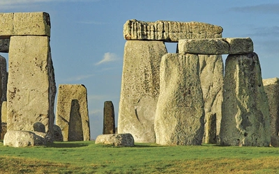
Walking through history: 7 ancient long-distance routes in the UK
The British Isles are packed with history, from ancient medieval abbeys to neolithic stone circles, from the finest surviving frontier work from any part of the classical Roman empire to the iconic earthwork of Offa’s Dyke. Long-distance walking is a fantastic way to step back in time and immerse yourself in these unique landscapes. Here are 7 ancient long-distance routes that cover all parts of the UK, suitable for both beginners and more experienced walkers alike.
1. BORDERS ABBEYS WAY
Ruined medieval abbeys
Where: Begins and ends in Tweedbank, which can be reached within an hour by train from the centre of Edinburgh.
How long: 68 miles
How many days: 4-6 days
How hard: suitable for people with a moderate level of fitness
Season: year-round, but between early spring and the end of autumn you will have more hours of daylight
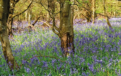
Taking in 4 of Britain's grandest ruined medieval abbeys, the route is as rich in history as it is in pastoral charm. It passes through the towns of Melrose, Kelso, Jedburgh, Hawick and Selkirk and the villages of Denholm and Newton St Boswells. The route is a well waymarked and is one of Scotland's Great Trails.
Fun fact: Kelso Abbey, founded in 1128, is the oldest abbey you'll pass on the trail.
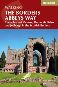
The Borders Abbeys Way
The abbeys of Melrose, Dryburgh, Kelso and Jedburgh in the Scottish Borders
£14.95
Guidebook to the Borders Abbeys Way, a 68 mile circuit in the Scottish Borders, taking in 4 of Britain's grandest ruined medieval abbeys. Beginning and ending in Tweedbank, the route, which is described over 6 stages, is as rich in history as it is in pastoral charm. Relatively flat, it is suitable for people with a moderate level of fitness.
More information2. THE RIDGEWAY
Views, Downs and Chiltern Hills AONBs
Where: From Avebury in Wiltshire to Ivinghoe Beacon in Buckinghamshire.
How long: 87 miles
How many days: 7 days
How hard: Suitable for all abilities.
Season: year-round, but spring and autumn have the best conditions
This guide takes you on a journey of discovery to some extraordinary sights, including the UNESCO World Heritage Site of Avebury's Neolithic stone circle and the famous Uffington White Horse. The trail is characterised by the lengthy stretches following an ancient track along the ridge line of the North Wessex Downs, dropping to the River Thames at Goring Gap, and then continuing along the line of the Chiltern Hills. The views are immense in all directions.
Fun fact: The Ridgeway is Britain's oldest trail.
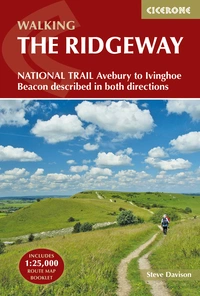
The Ridgeway National Trail
Avebury to Ivinghoe Beacon described in both directions
£17.95
Guidebook to the Ridgeway National Trail, an 87 mile (139km) route through the south of England from Avebury in Wiltshire to Ivinghoe Beacon in Buckinghamshire. Accompanied by a pull-out 1:25K mapping booklet, this guidebook details the trail in both directions and features information on historic sites and facilities along the way.
More information3. HADRIAN'S WALL PATH
Roman wall, forts and settlements
Where: Between Bowness-on-Solway and Wallsend, Newcastle.
How long: 84 miles
How many days: 7 days
How hard: Suitable for those with reasonable fitness.
Season: April to October.
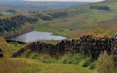
Hadrian's Wall is the finest surviving frontier work from any part of the classical Roman empire, recognised as a UNESCO World Heritage Site. As you walk you will find an abundance of historic remains. Not just of the Roman era, but from later centuries, in a pastoral landscape that has seen its fair share of turbulent human interaction and, notably through the mining of coal, industrial change and invention.
Fun fact: Only about 10% of the original wall remains today.
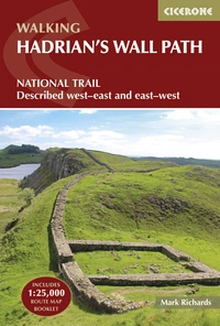
Hadrian's Wall Path
National Trail: Described west-east and east-west
£17.95
Hadrians Wall Path guidebook to walk the 135km (84 mile) National Trail. Described in both directions, the main description is west to east between Bowness-on-Solway and Wallsend, Newcastle, with an extension to South Shields. With extensive historical information related to this World Heritage site and separate 1:25,000 OS map booklet included.
More information4. THE SARSEN WAY
Stunning prehistoric sites
Where: From Coate Water to Salisbury
How long: 49 miles
How many days: 4 days
How hard: Suitable for all abilities.
Season: year-round, but spring and autumn have the best conditions.
The Sarsen Way heads south to Barbury Castle’s Iron Age earthworks, then follows the Ridgeway for a time, and offers an optional loop to explore prehistoric sites around Avebury. After crossing the Vale of Pewsey, meeting up with the Kennet and Avon Canal for a time, the route heads to the edge of the Salisbury Plain before following the River Avon valley to end at Salisbury Cathedral. There is an optional loop to explore the prehistoric sites around Durrington and Stonehenge.
Fun fact: The enormous stones of Stonehenge weigh an average of 20 tonnes each.
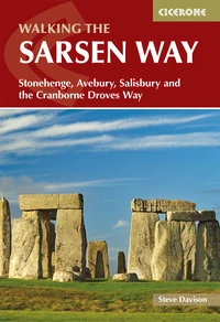
Walking the Sarsen Way
Stonehenge, Avebury, Salisbury and the Cranborne Droves Way
£14.95
Guidebook to the Sarsen Way (79km) from Coate Water Park to Salisbury and the Cranborne Droves Way (28km) connecting Salisbury to Wessex Ridgeway at Win Green. These long-distance paths are part of the Great Chalk Way. Suggested 2-8 day itineraries, OS maps, accommodation options, and reverse route descriptions are included.
More information5. ST OSWALD'S WAY
Unspoit scenery, abbeys and castles
Where: Heavenfield, near Hadrian’s Wall, to Holy Island (Lindisfarne), off the north Northumberland coast
How long: 97 miles
How many days: 6 days
How hard: Suitable for all those with a reasonable level of fitness.
Season: Spring, summer and autumn; late autumn for birdlife; expect snow on higher ground in winter
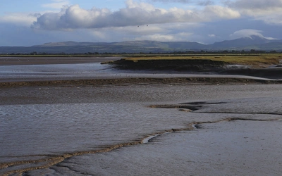
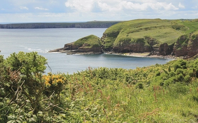
Taking in almost the whole length of the Northumberland Coast AONB, this route traverses landscapes ranging from rolling farmland to heather moorland, weathered sandstone crags and some of the most beautiful coastal scenery anywhere in the UK. Quiet fishing villages and market towns are interspersed with spectacular castles, Neolithic rock art and incredibly rich birdlife.
Fun fact: St Oswald, the seventh-century Anglo-Saxon king, was largely responsible for the introduction of Christianity in northern England.

Walking St Oswald's Way and Northumberland Coast Path
Heavenfield and Cresswell to Holy Island
£16.95
Guide to St Oswald's Way, stretching 97 miles (156km) through Northumberland from Heavenfield near Hadrian's Wall, to Holy Island (Lindisfarne) and taking in almost the whole length of the Northumberland Coast AONB. Includes an option to continue to Berwick-upon-Tweed on the final stage of the Northumberland Coast Path.
More information6. ST CUTHBERT'S WAY
Explore England’s ‘cradle of Christianity’
Where: from Melrose in the Borders to Holy Island
How long: 62 miles
How many days: 4 days
How hard: Suitable for all those with a reasonable level of fitness.
Season: can be walked at any time of year. However, the weather is generally at its finest from May to July
St Cuthbert’s Way is a long-distance trail that leads the walker through a series of beautiful, diverse and at times remote landscapes as it winds its way from the historic abbeys of the Scottish Borders, across the remote uplands of the Anglo-Scottish border, to the superb scenery of the Northumberland Coast.
Fun fact: There's so much going on in this area of Northumberland - magnificent architecture, sites of enormous archeological and geological interest and, of course, some outstandingly good pubs!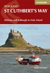
Walking St Cuthbert's Way
Melrose and Jedburgh to Holy Island
£16.95
This guidebook describes the long-distance trail of St Cuthbert's Way through Northumberland and the Borders. The route starts in Melrose and travels 100km (62 miles) through the Northumberland National Park to Holy Island. It also includes a description of the route from Holy Island up the coast to Berwick-upon-Tweed.
More information7. OFFA'S DYKE PATH
follow the longest linear earthwork in Britain
Where: the English-Welsh border, from Sedbury Cliffs near Chepstow to Prestatyn
How long: 177 miles
How many days: 12 days
How hard: Long but not too difficult.
Season: This walk is exceptional in all seasons.
The iconic earthwork of Offa’s Dyke, the longest linear earthwork in Britain, is a defining feature of the Welsh borders. The path named after it offers an unforgettable journey between the Severn Estuary and the north Wales coast, contouring above the Wye and Dee, visiting hillforts and Norman castles and exploring the hidden heritage of the Marches.
Fun fact: The earthwork structure is named after Offa, the 8th century king of Mercia. He is believed to have ordered its construction although its original purpose is unknown.
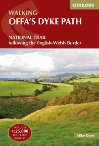
Offa's Dyke Path
National Trail following the English-Welsh Border
£17.95
This guidebook describes Offa's Dyke Path National Trail, a 177 mile (283km) long-distance walk along the English-Welsh border between Sedbury (near Chepstow) and Prestatyn. The guidebook is split into 12 stages with suggestions for planning alternative itineraries. With OS 1:25,000 map booklet.
More information